EO-Toolkit Documentation
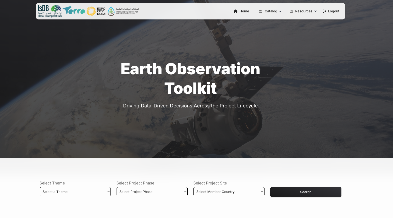
EO-Toolkit is a web-based Geographic Information System (GIS) platform that integrates Earth Observation data, advanced analytics, and interactive mapping capabilities to support development projects and decision-making processes. This platform empowers users with the tools, datasets, and analytical insights necessary to make informed, location-specific decisions across multiple sectors including agriculture, water resource management, climate resilience, and infrastructure planning. The documentation provided here serves as a complete guide for installing, configuring, deploying, and utilizing EO-Toolkit on a new server environment.
Live Application: https://etoolkit.terrawatch.net/
EO-Toolkit serves as
- A Web-based GIS platform showcasing the application of EO technologies across multiple sectors in IsDB projects.
- A knowledge hub summarizing past and ongoing EO-based initiatives in agriculture, water management, climate resilience, and infrastructure development.
- A resource center offering EO datasets, methodologies, case studies, learning materials, tools, SOPs, and best practices to facilitate the integration of Earth Observation across various stages of the IsDB project lifecycle.
Use Cases
EO-Toolkit is designed for:
- Development Organizations: Planning and monitoring development projects
- Researchers: Conducting geospatial analysis and research
- Policy Makers: Making data-driven decisions based on Earth Observation data
- Agricultural Planners: Analyzing crop patterns, irrigation, and water resources
- Climate Analysts: Studying climate trends and projections
- Infrastructure Planners: Planning infrastructure projects with spatial context
Last Updated: February 16, 2026